
Click Here For Local Hazardous Weather Outlook
East Tawas State Dock Camera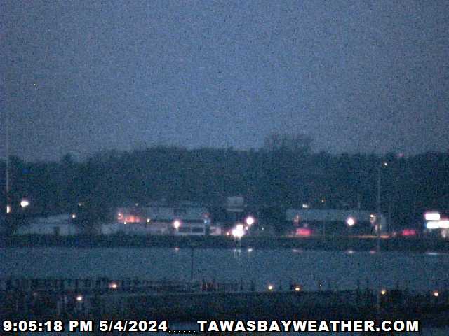 Click Here To Operate The Camera Click Here for Lighthouse Information |
Click Here for Tawas Photos
|
| Tawas Bay Weather Conditions at 7:19pm on 7/18/25 | |||
|---|---|---|---|
| Temperature | Wind | Precipitation | |
| Current Temperature: 75°F | Current Wind Speed: 0 mph | Daily Precipitation: 0.00 inches | |
| High: 75°F at 7:18pm | Direction: WSW | 24 Hour Precipitation: 0.00 inches | |
| Low: 57°F at 6:31am | Wind Gust: 1 mph | This Month: 0.91 inches | |
| 24 Hours Ago: 66°F | Daily Average: 3 mph | This Year: 4.65 inches | |
| Wind Chill: 75°F- Heat Index: 78°F | Barometer | Astronomical Data | |
| Water Temperature: 40°F | Current: 30.09 Falling | Sunrise: 6:08am | |
| Weather Almanac for 7/28/2024 | High: 30.20 in. at 11:09am | Sunset: 9:14pm | |
| Average High: 80°F | Low: 30.09 in. at 6:53pm | Moonrise: 12:34am | |
| Average Low: 58°F | 24 Hours Ago: 30.03 Inches | Moonset: 3:08pm | |
| Record High: 95°F in 1941 | Humidity |
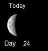
Moon Phase 41% Illuminated  |
 |
| Record Low: 44° in 1944 | Current: 66% | ||
| Average Precipitation for month: 3.10" | High: 76% at 1:39pm | ||
| *Almanac data is from the National Weather Service East Tawas MI station. To view data for any day for this NWS station and for other Northern Michigan NWS Stations click here. | Low: 39% at 12:09am | ||
| Daily Average: 66% | |||
| 24 Hours Ago: 74% | |||
| Dew Point: 63°F | |||

|
|
|
|
|
||

Update 7/28/2024- 11:30 am EDT -- The
NWS COOP Weather Station
in East Tawas reports that as of July 28, monthly precipitation has been 2.66",
4% (-.12") below the long-term average
and the temperature has been at the long-term average; annual precipitation has been 22.79",
23% (+4.26") above the long-term average and the
annual temperature has been 8% (+3.5°F) above average. Monthly precipitation for
the
Lake Huron-Michigan Basin through July 27, has been 3.13",
17% (+.46") above average. As of July 27, the average Lake Huron surface water
temperature was 69.2°F compared to 70.0°F last year and an average of
67.3°F. As of 6:10 am EDT, the
NDBC weather buoy located 43 NM east of Oscoda, MI reports an air
temperature of 70.2°F, surface water temperature of 69.6°F, a SSW
wind at 9 mph and a wave height of 0.7 ft. As of 6:10 am EDT, the weather
buoy located 32 NM miles Northeast of Alpena, MI reports an air
temperature of 67.3°, a surface water temperature of
66.9°F, a SSW wind at
4 mph and a wave height of
1.0 ft. As of 6:00 am EDT, the Saginaw Bay weather buoy located 4 NM miles east of Pt.
AuGres reports an air temperature of 71.8°F, a water temperature at 47
ft. of 63.4°F, a SSW wind at 13 mph and
a wave height of 1.3 ft.
* Lake Huron Water Levels- As of 7/26/24: 1" above the 6/26/24
level; 1" above the 7/26/23 level; 5" above the long-term average for
July;
28" below the 2020 average high for July and 37" above the 1964
average low for July. The level is projected to be 1" lower by 8/26/24. The water level is currently
28.4 inches below it's July
2020 all time high water point.
The Weekly Water Levels will be also published on MeWe
(Click Here), on Gab
(Click Here), on X
(Click Here) or on Telegram
(Click
Here), usually on Friday or Saturday.
*
Tawas Bay Fuel Prices--$3.56 to $3.69 for Regular.