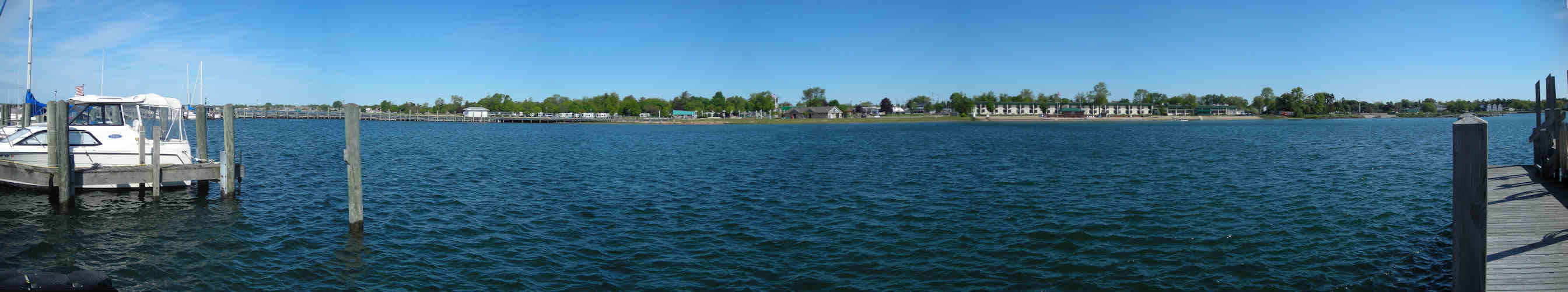
| This is a series of photos taken in June of 2009 from the gas dock at the East Tawas Harbor. The photos have been stitched together to form a panorama. The view is looking generally west on the left side of the photo to east on the right side of the photo, with the City Park, the Tawas Bay Beach Resort and the DNR launch ramp on the shore. This photo was taken prior to the complete rebuild of the dock in 2019. |
| Click Here for a jpeg image of the panorama |
Tawas Bay Michigan USA
Weather Station and Webcams
East Tawas Harbor Shoreline Panorama
- TawasBayWeather.com- All rights reserved
Weather Data Updated Automatically Using Ambient Software's Virtual Weather Station
TawasBayWeather.com contributes data to
Weather for You,
PWS Weather.com,
Weather Underground, The
Midwestern Weather Network and
Citizens Weather Observer Program